
The challenge
Public-sector and digital-government organizations increasingly need accessible ways to interpret satellite imagery for terrain and land-cover analysis. Planning, environmental monitoring, and geographic information workflows often depend on turning raw imagery into reviewable maps and classified outputs. When those workflows are fragmented, teams may struggle to compare observations over time or to isolate specific geographic features at the pixel level.
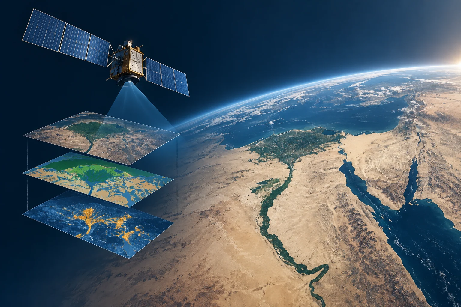
The platform applies terrain classification, geographic feature segmentation and change detection to satellite imagery, giving analysts a repeatable workflow for interpreting land-cover conditions and reviewing geographic change.
Platform architecture
The portfolio comprises three earth-observation analytics modules. Each module addresses a distinct part of the imagery interpretation workflow, from broad terrain classification to detailed feature segmentation and temporal comparison.
Terrain classification
Terrain classification distinguishes broad terrain types, such as desert and river regions, from satellite imagery. It operates at scene level, assigning imagery to terrain or land-cover categories. This capability can help analysts organize large volumes of satellite scenes into interpretable classes before deeper analysis.
Terrain segmentation
Terrain segmentation separates relevant terrain features at pixel level within satellite scenes. Unlike scene-level classification, it produces finer-grained outputs that identify where specific features appear. This can support mapping and analysis tasks that require more precise spatial boundaries.
Change detection
Change detection compares images of the same location from different acquisition dates to identify visible changes. It is designed to highlight differences in observed environments over time. This module can help users review how land-cover patterns or terrain features have changed between image captures.