
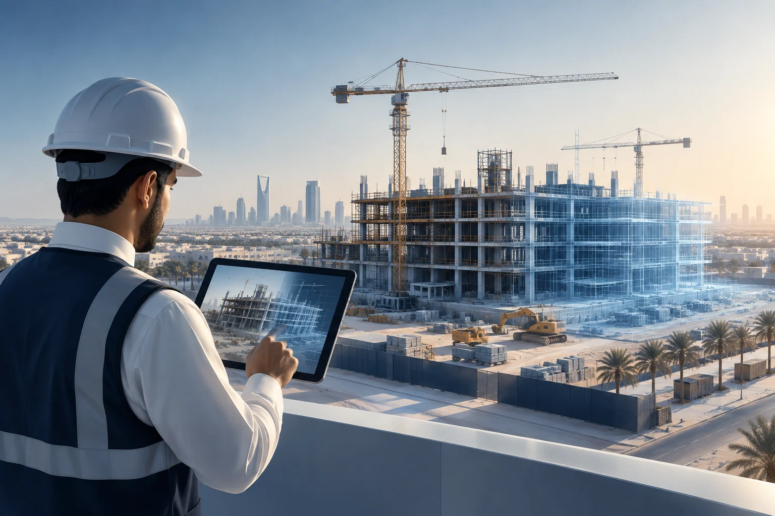
The challenge
Construction, real estate, and smart living projects depend on timely, accurate visibility into site conditions. As work progresses, the physical environment changes continuously, and project teams must reconcile design intent, construction activity, and on-site reality. Traditional methods of capturing progress, such as periodic photographs, manual walkthroughs, and written reports, can provide snapshots, but they often lack spatial context and are difficult to compare over time. The result is a fragmented view that can slow decision-making and complicate coordination across distributed teams.
Technical approach
The construction digital-twin platform combines site imagery, spatial reconstruction and time-based visual records to support progress reviews and remote coordination. Field images are transformed into navigable representations and chronological site views that teams use to examine progress across dates and locations.
Core capabilities
- Image-based site mapping and spatial reconstruction workflows
- Location-aware construction visualization and digital site representations
- Time-lapse and visual progress-history generation
- Collection and review of field visual evidence
- Integration interfaces for mobile and construction information systems
- Operational processing workflows for repeatable updates
How it works
The workflow begins with the collection of field imagery using mobile devices or site cameras. This imagery is then processed through spatial reconstruction workflows to create navigable visual outputs that represent the site in a location-aware manner. Time-lapse and visual progress-history generation organize the imagery into a time-based record, allowing teams to compare conditions across different dates. Project stakeholders review these outputs for progress reviews, remote coordination, and visual evidence management. Operational processing workflows enable repeatable updates as new imagery is collected, so the digital representation can evolve with the project. Integration interfaces can connect the visual records with mobile and construction information systems, subject to the implementation scope confirmed for a given deployment.
Integrations
Mobile and construction-information integrations connect location-aware visual records with the wider site documentation and coordination workflows.
Business value
Location-aware imagery and time-based comparisons give project stakeholders a shared visual record of changing site conditions, supporting progress reviews, remote coordination and more consistent documentation.